‘It’s going to be a big one,’ was the initial response from the Operations Director at the West Coast Regional Council, following a briefing from Council’s Flood Response Analysis Team at 9.00am on 31 January.
The calls began immediately- with outreach to neighbouring Otago Regional Council and Environment Canterbury, mobilising the local flood team and connecting with Civil Defence to activate the emergency response on the ground. The phone lines across the West Coast ran hot. Helicopters were lined up for critical event monitoring, and the local response was supported on the ground by staff from the National Emergency Management Agency, neighbouring Civil Defence Emergency Management Groups, emergency services, lifeline utilities, and government agencies including the NZ Defence Force, Fire and Emergency Management, Ministry for Primary Industries and Waka Kotahi NZ Transport Agency. The Emergency Management Assistance Team and New Zealand Response Teams also surged in to assist.
The burst of activity came immediately before the storm as everyone braced for dangerous river conditions and flooding.
It had been a mere 7 months since the last major event (July 2021), when the people of the West Coast were battered by extreme rain and flooding. Many hadn’t even had the chance to fully recover yet. Some people had only just moved back into their houses, others were still waiting on insurers or building supplies. Some of the less fortunate didn’t have insurance to fall back on and had been doing it tough as they tried to rebuild their lives.
River engineering staff from Environment Canterbury travelled to the West Coast alongside four environmental monitoring experts and river engineers from the Otago Regional Council. Local teams were prepped and briefed. Everyone pulled together, ready to respond shoulder-to-shoulder.
What followed was a massive team effort. Rosters were established, response requirements and the PIM (Public Information Management) officer was confirmed.
PIM is Public Information Management within the Civil Defence Emergency Operations Centre.
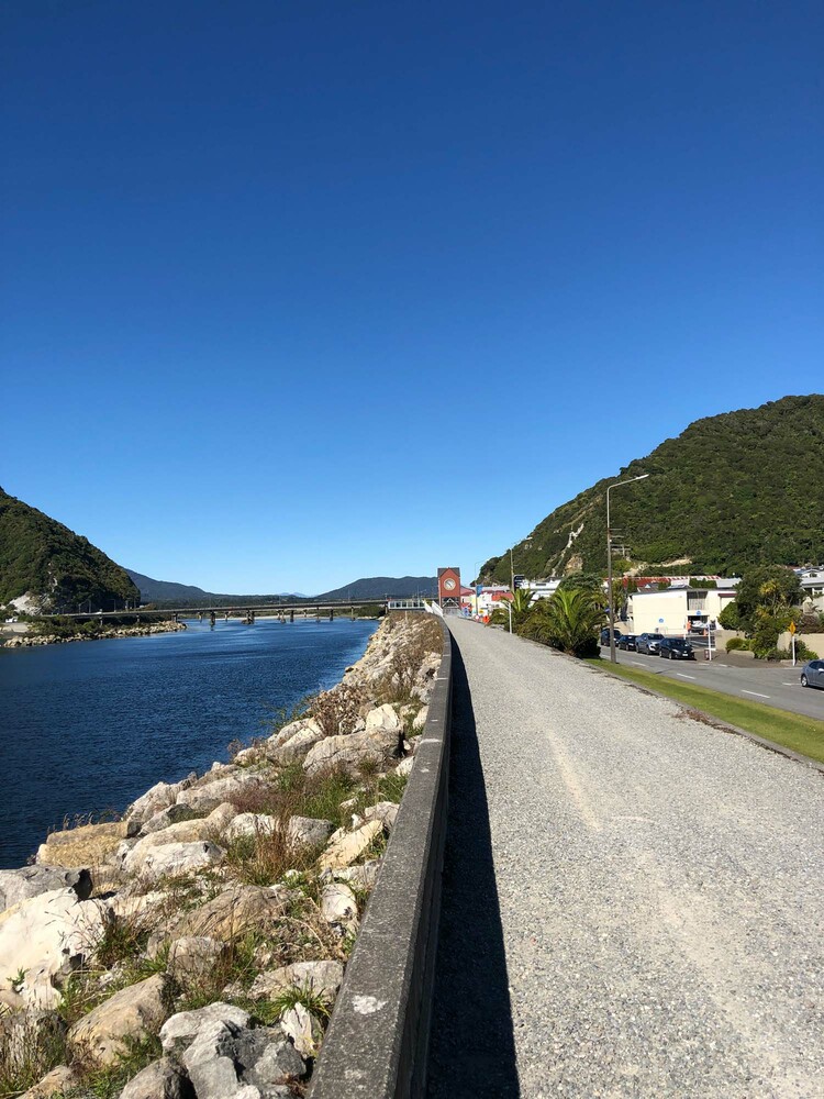
The duty flood control team monitored river flows around the clock with sites calling in new data every five minutes to every hour. Engineers assessed the stability and effectiveness of some of the flood protection structures, such as the groynes - what might look like a fallen tree or a giant rock pile but is actually a strategically placed structure built out from the riverbank to help prevent riverbank erosion – were going to withstand the flows and monitored the capacity of berms - the area immediately next to a river that is designed to capture overflow.
In Westport, working through the day and night in shifts, Environment Canterbury staff paired up operating as spotters, monitoring known breakout spots, and keeping a close eye on the rate of rise and flow of the Buller River.
On the Otago side of the mountains, the Network Infrastructure Lead recorded river flows from the relative dryness of a helicopter. Incredible amounts of water were coming off the hill in the peak of the storm. Some of the highest flows ever measured on some of those rivers were recorded. Parts of Otago were affected including the Wānaka and Whakatipu catchments.
Otago Regional Council staff carried out helicopter gauging on the Young North Branch, Wilkin, Rees and Dart rivers during the event, to help understand and model the volume of water flowing down off the mountains. Helicopter gauging is a technique that was developed by ORC’s own Paul Hannah in collaboration with NIWA. Using this technique, experts were able to fly over washed-out roads and bridges, to measure peak river flow rates safely and efficiently.
Another critical piece of the response puzzle was the on-going surveying and photographing of the landscape as the event unfolded. Photos taken from helicopters and from the ground provided important information that was able to be used to assess the kind and level of danger, to keep the local communities safe.
The next few days passed in a blur of preparation and response for all affected regions. There was not one, but two major downpours amongst the relentless and extreme rain due to an “atmospheric river” of warm and moist air hitting the region. Westport experienced its wettest February day since records began in 1944. Residents were encouraged to self-evacuate to friends and family on higher ground with more than 100 people sleeping in an evacuation centre as the peak of the event came on the Friday night and into Saturday morning.
As the weather subsided and the teams who had come in from Otago and Canterbury headed home from the West Coast, the assessment of the damage that yet another extreme weather event had inflicted on the region, began. Recovery is a long road, but the efforts of all teams coming together from three adjacent Regional Councils are a shining example of working together to respond to yet another extreme weather event in Aotearoa.