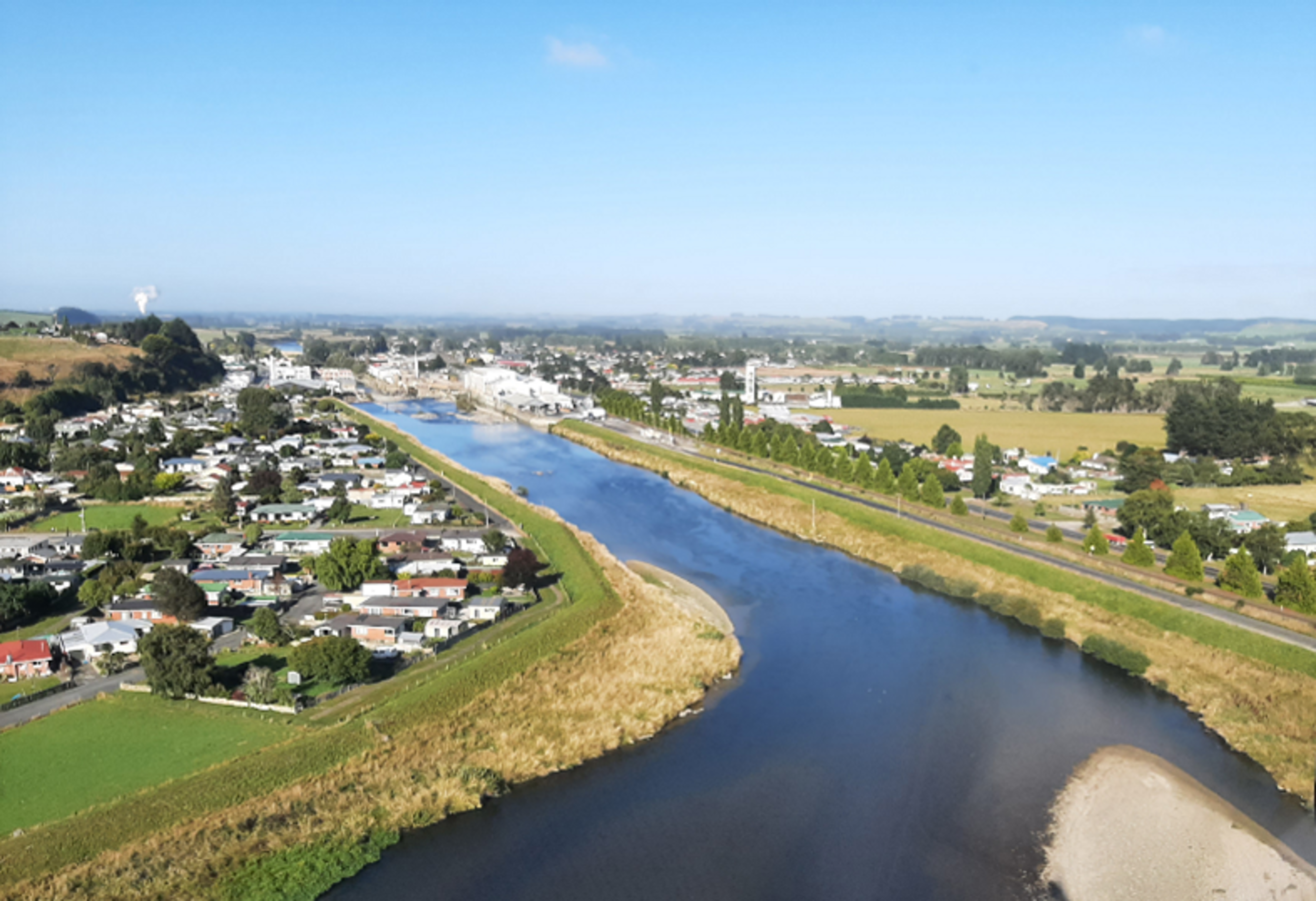
The Mataura flood infrastructure network is a comprehensive river-management system that reduces flood impacts through a combination of flood banks, channel stabilisation using rock armouring and vegetation management. The network helps contain floodwater within the river corridor and its smaller tributaries, reducing flood effects on the township and nearby industries.
Extensive flooding across Murihiku Southland in February 2020 tested Mataura’s flood banks to near capacity, carrying the largest recorded volume of water beneath the Gore and Mataura bridges. Emergency management staff, council teams and local services safely evacuated around 1,500 residents in Mataura and more than 4,500 people across the wider catchment.
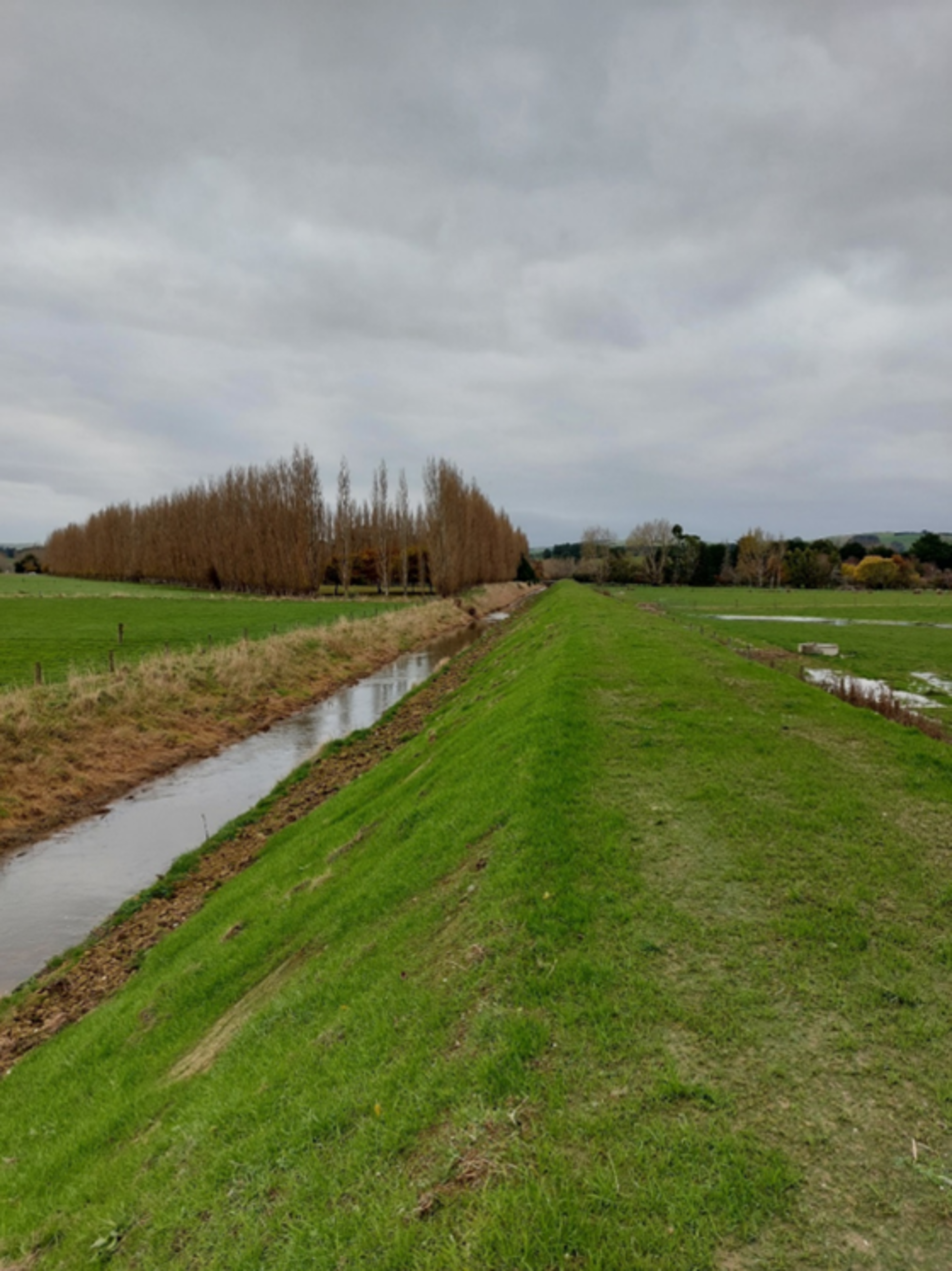
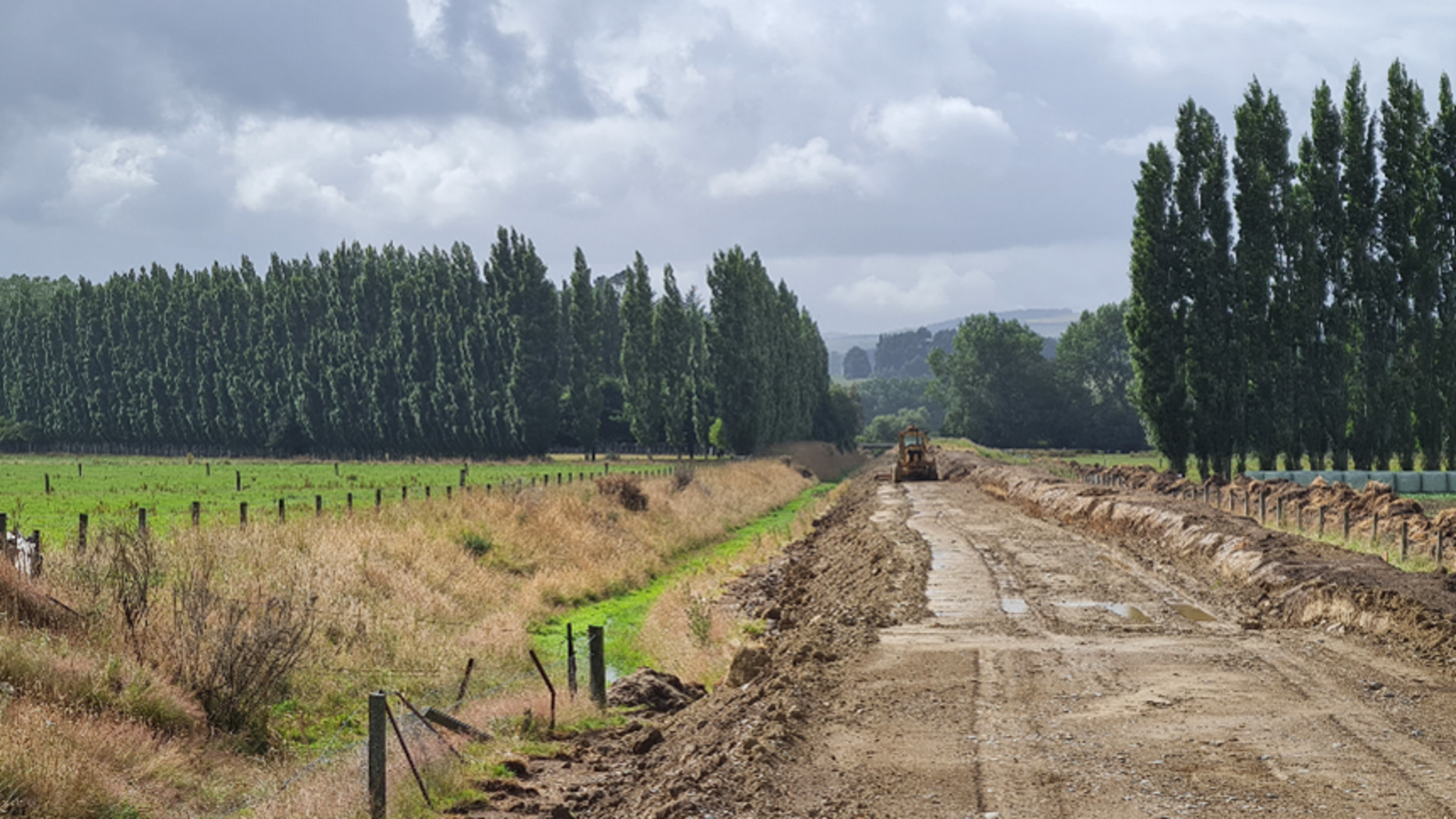
The first priority for Mataura was strengthening, reshaping and raising the flood bank at Boundary Creek, extending it a further 380 metres to the west. Although flood banks across the Mataura catchment performed as intended during the 2020 floods, the Boundary Creek section was overtopped and outflanked, highlighting the need for targeted upgrades. These works are now complete.
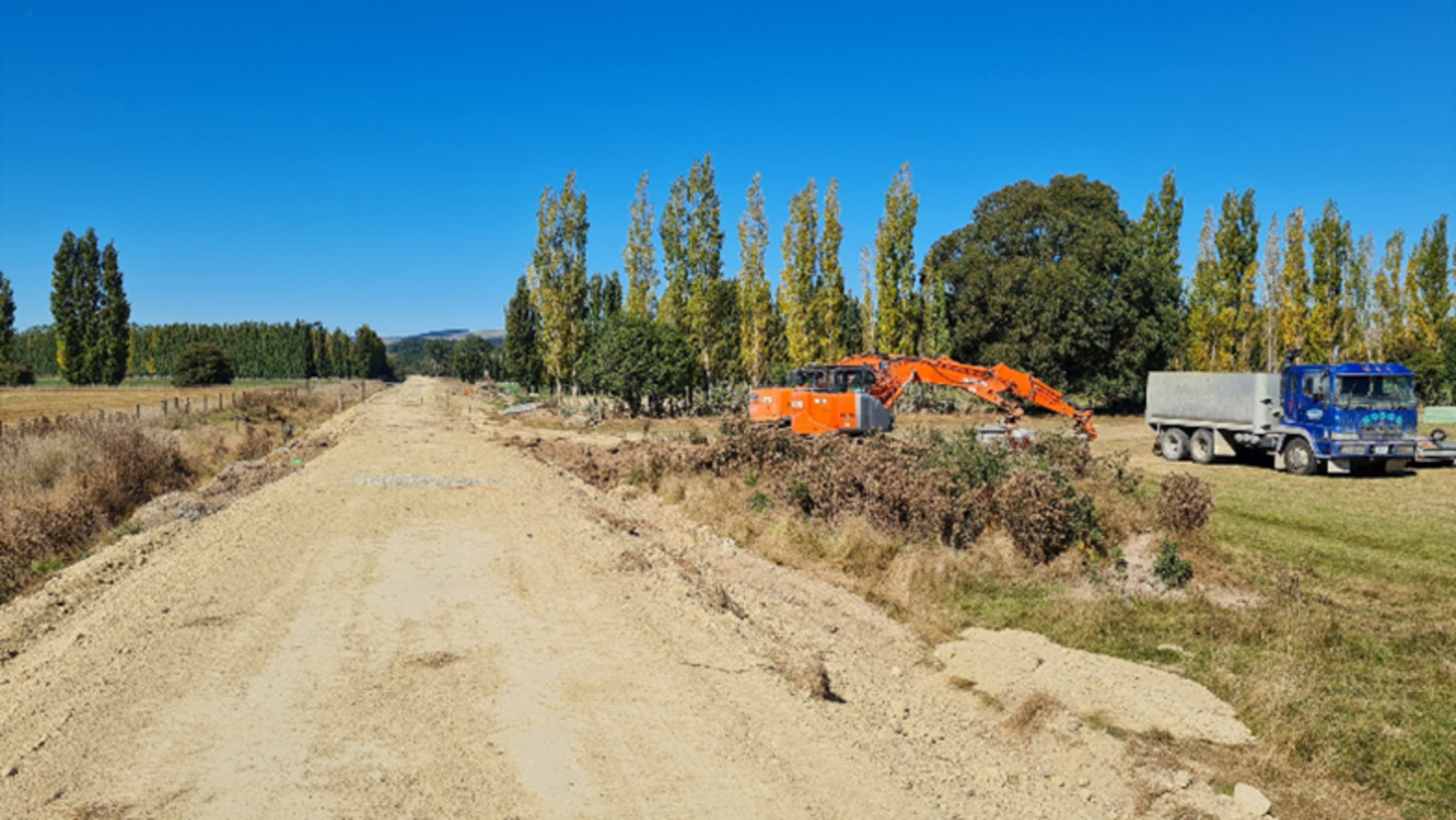
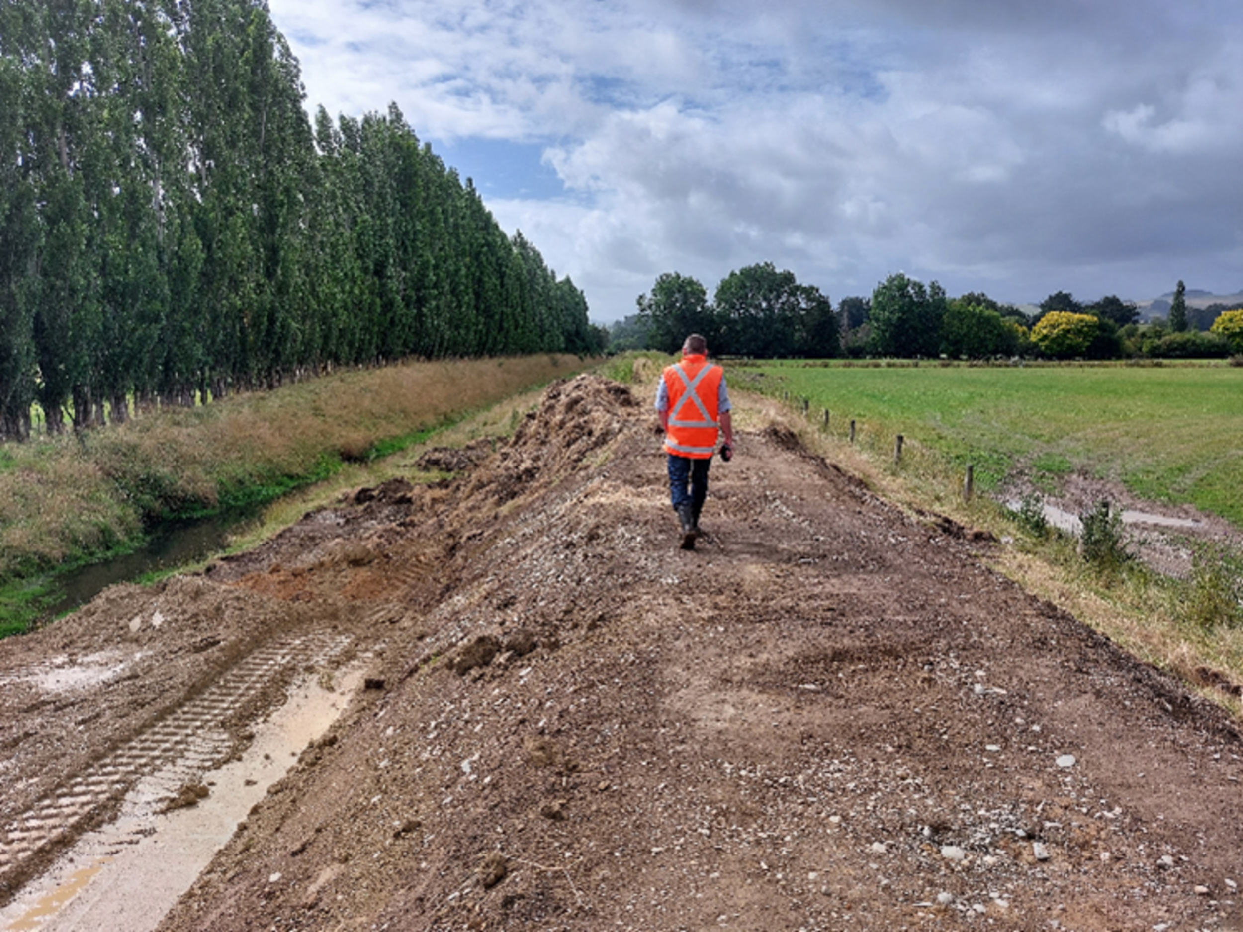
At Waimumu Stream, on the western side of Mataura township, contractors began strengthening approximately 4 kilometres of flood bank along the true-left bank in December 2022. The works were completed in May 2023, restoring agreed service levels and improving long-term performance during high flows.