Project Start Year: 2026
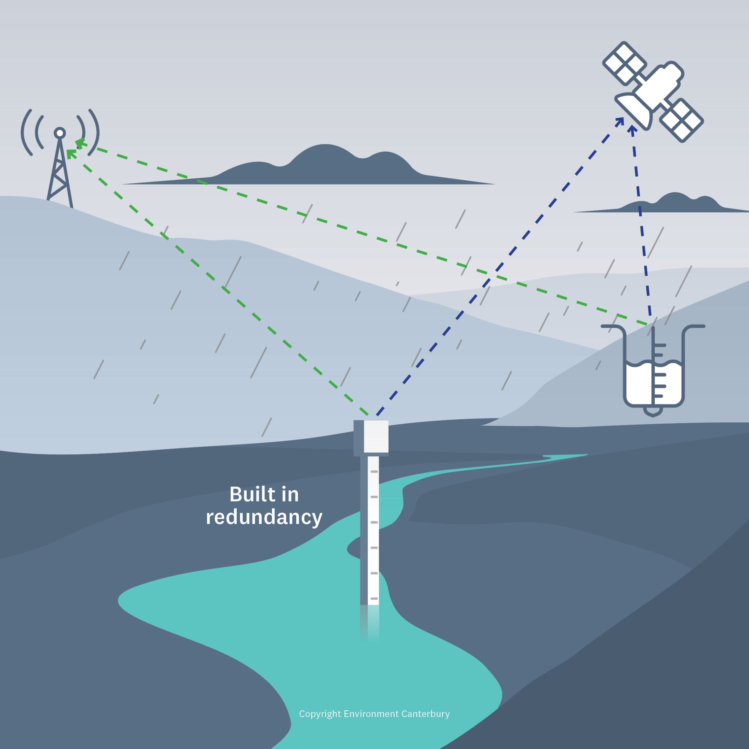
This national project includes flood warning systems upgrades throughout New Zealand as well as providing new and reliable telemetered flood warning data. This enables better flood forecasting and enables actions that reduce the impacts of adverse weather before, during, and after flood events. The scope of this work involves physical upgrades of flood warning infrastructure, installing new telemetry, as well as backup monitoring infrastructure to increase flood resilience.
Benefits
These upgrades will enhance early warning coverage for urban centres such as Waikanae, Porirua, Waiwhetu, New Plymouth’s Waiwhakaiho Basin, Waitara, Waitotara, and multiple rural communities across Tasman, Marlborough, Canterbury, Otago and the West Coast.
The assets within the coverage zones include: extensive residential areas, high value commercial and industrial zones (including large food processing facilities, retail hubs, fuel installations and container yards), lifeline infrastructure such as multiple state highways and local roads, rail corridors, bridges, airports (Dunedin and Nelson), and key electricity and telecommunications sites. Large areas of productive farmland, major river floodplains, and marine farms also depend on the reliability of these systems.
Adaptation and Resilience
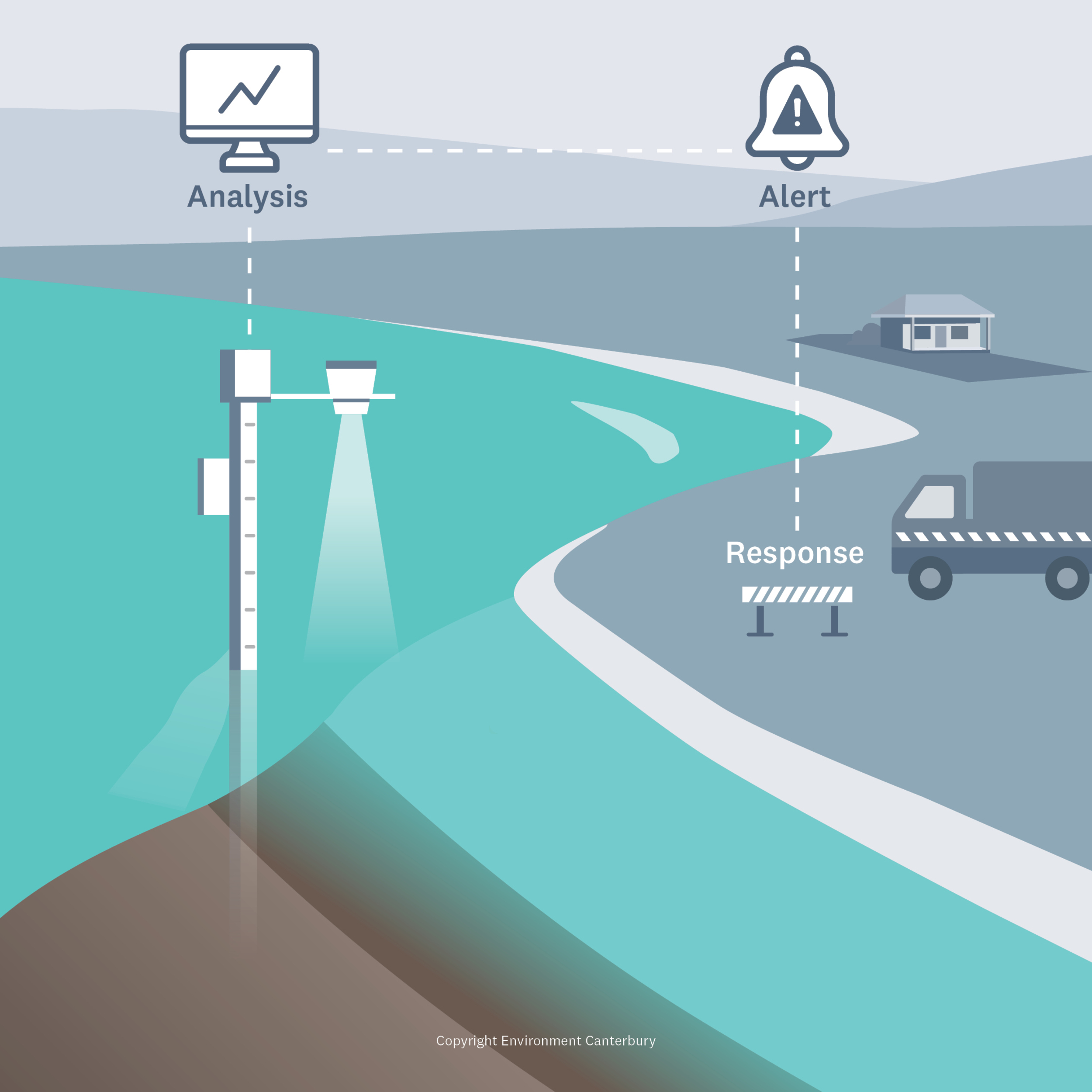
Extreme rainfall and flooding events - such as the 2023 Auckland Anniversary Weekend floods, Cyclone Gabrielle and the July 2025 flooding at the top of the South Island - are occurring more often and causing more damage than in the past. This project improves reliability, redundancy and real time data quality to support faster, more accurate flood forecasting so that the impact on our communities can be signalled more accurately.
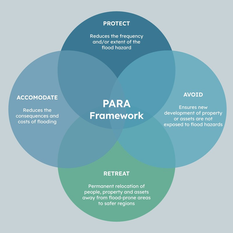
Scientific evidence points to climate change increasing the intensity and frequency of weather events and the importance of being better prepared for weather events. This project supports the future climate and flood resilience preparedness and adaptation and embraces the full “PARA” approach to flood risk – Protect, Accommodate, Retreat, Avoid (see image).
Collaboration
This project has been co-funded through the Regional Infrastructure Fund (RIF) administered by Kānoa.
A national team of staff from various councils are working in collaboration with Te Uru Kahika on this project. The 10 councils involved are: Waikato Regional Council, Taranaki Regional Council, Greater Wellington Regional Council, Tasman District Council, Nelson City Council, Marlborough District Council, Environment Canterbury, Otago Regional Council, West Coast Regional Council, Environment Southland.
Engagement with various government agencies and interested parties is also an important part of this work.
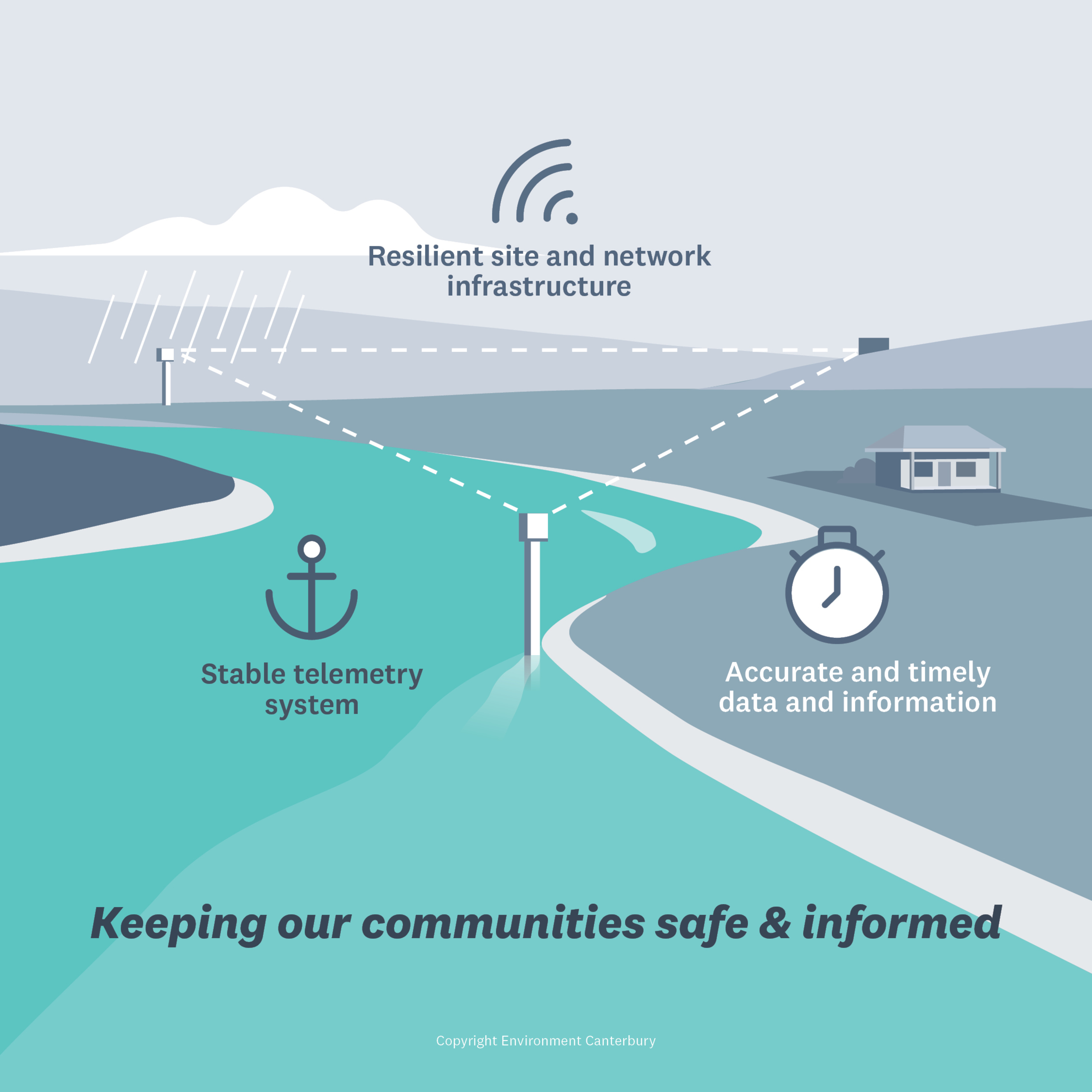
This work identifies gaps in flood warning systems and opportunities to upgrade flood warning infrastructure. These upgrades will strengthen many early‑warning systems nationwide through improved telemetry, power supply and communications networks as well as new rainfall and river‑level monitoring sites. Together, these upgrades improve reliability, redundancy and real-time data quality to support faster and more accurate flood forecasting enhancing community safety to protect people, infrastructure, and essential lifelines during flood events.
Images used with permission.